There are two things I know for certain about life in the San Bernardino Mountains. The first is that a gorgeous late-October afternoon practically demands a four-wheel-drive adventure. The second is that apparently fifteen years is long enough for your brain to delete an entire mountain road system without bothering to ask your permission.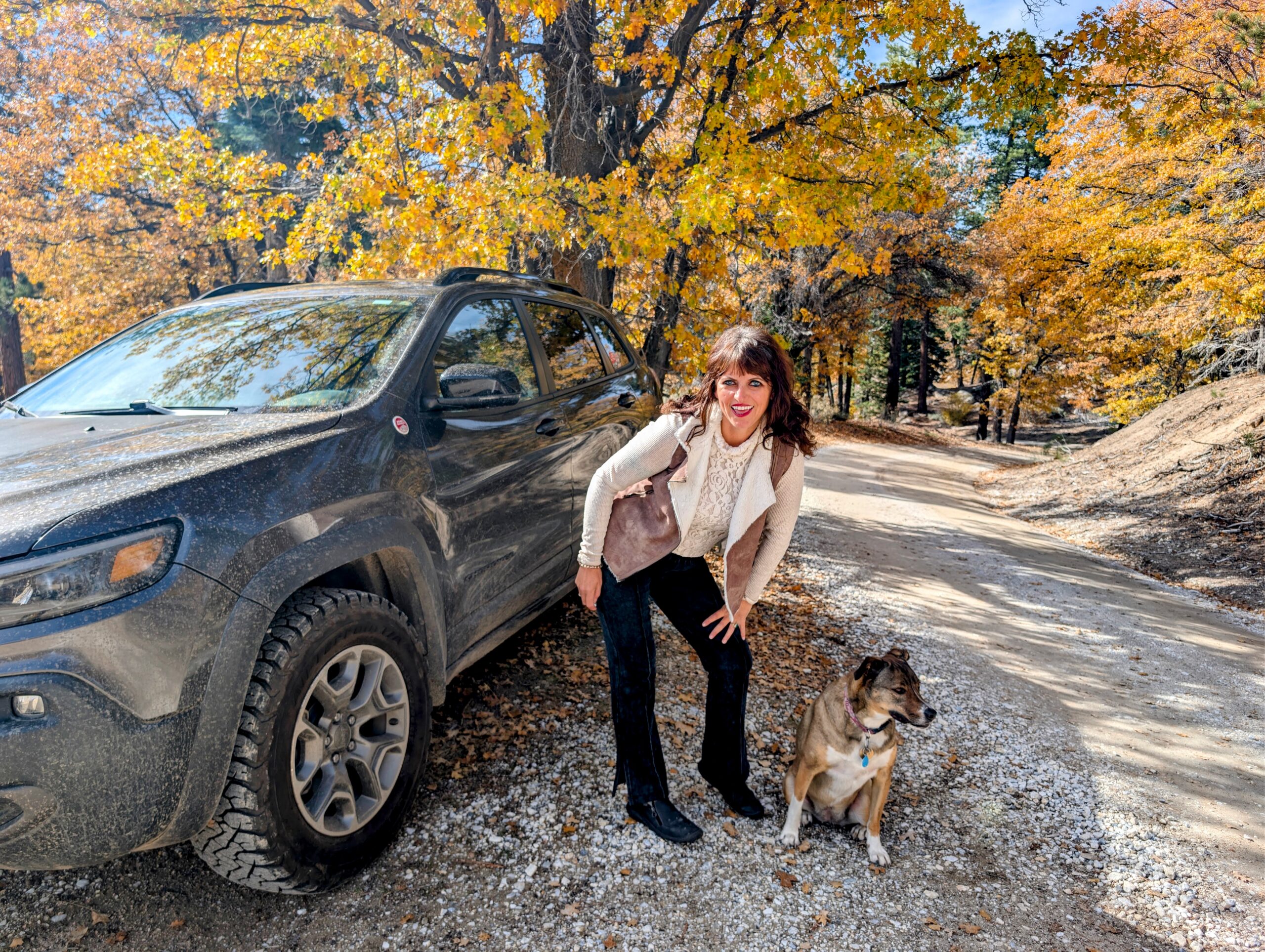
I discovered this on what was supposed to be a leisurely fall colors off-road drive from Big Bear Lake to Green Valley Lake with my Catahoula rescue dog, Luna. We had an awesome four-wheel-drive Jeep, crisp 55-degree mountain weather, oak trees exploding in shades of gold and orange, and absolutely no responsibilities for the afternoon. What could possibly go wrong?
Well, apparently all that Prevagen and Lion’s Mane mushroom coffee I’ve been drinking hasn’t done a damn thing for my geographical memory. Somebody needs to request a refund.
On Super Tuesday here in Southern California, I desperately needed to unplug from the internet, social media and Fox News for a few hours. I needed to escape to a simpler time, back when friends could disagree about politics without disowning each other over a yard sign or a Facebook post. I needed to disappear into the mountains, somewhere the Wi-Fi was weak and cell phone reception was practically a myth. Just a few miles from where I had cast my ballot earlier that morning, a lonely dirt road led deep into a remote forest that felt like another world. It wasn’t just a drive into the wilderness. It was a drive back in time, to a place where political arguments couldn’t reach me, breaking news didn’t exist and the only thing demanding my attention was the dirt road ahead. And honestly, after the political circus of 2026, that sounded downright heavenly.
Once Upon a Time, I Was the slow running Queen of These Dirt Roads
Fifteen years ago, when I lived in Running Springs, the wilderness surrounding Green Valley Lake was practically my second home. For ten years, I was obsessed with trail running. Not the casual jog-around-the-neighborhood kind, either. I was the kind of woman who thought spending her morning running eight miles through the forest, climbing mountains and occasionally dodging rattlesnakes sounded like a fantastic way to relax.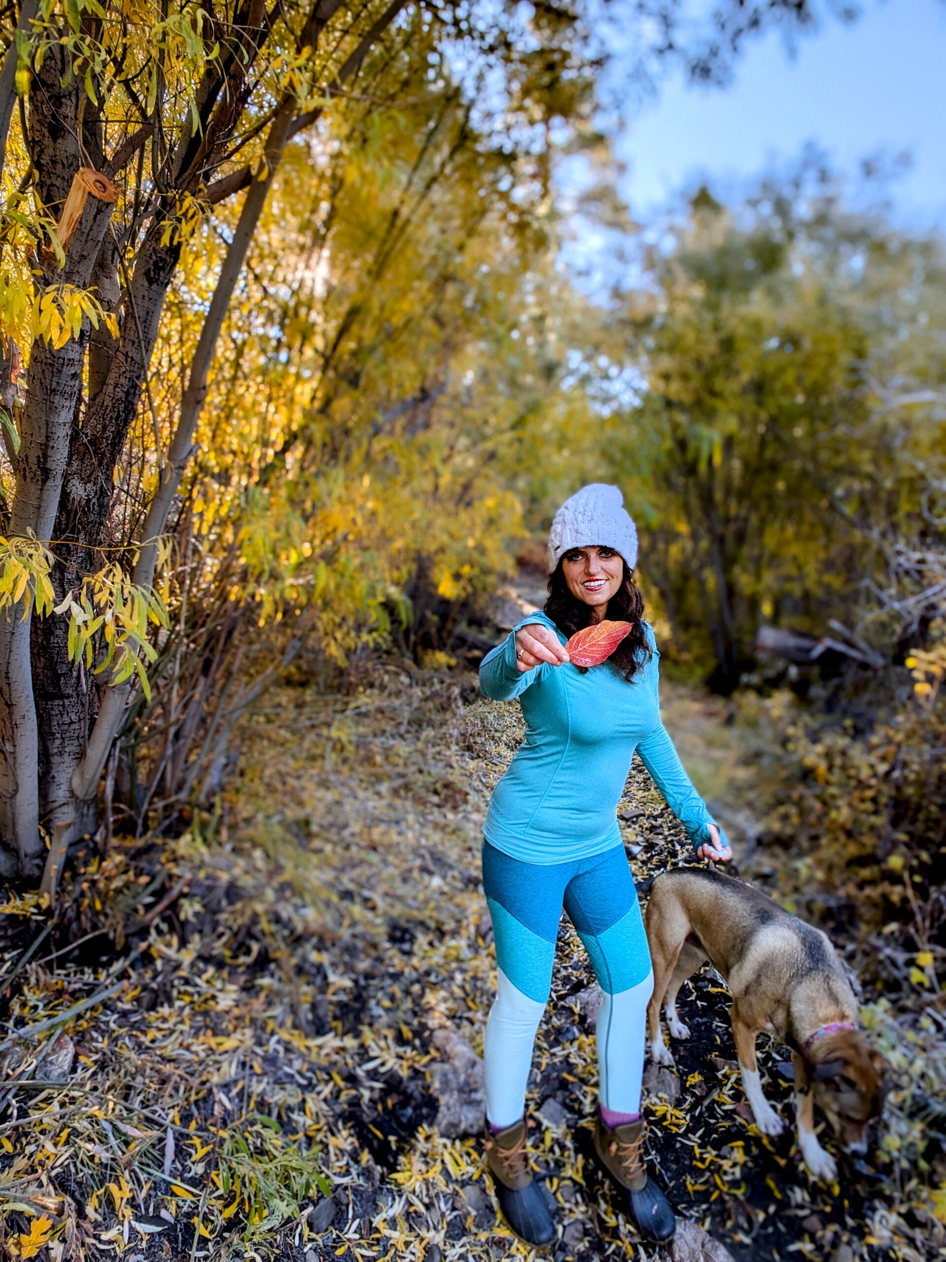
Three mornings a week, you could find me exploring the old dirt logging roads around Green Valley Lake, including the Snowslide Road and 3N19 area. I knew those trails. I knew the junctions. I knew where the dirt roads climbed, where they dropped into the valleys and where the best views were. Back then, I knew this section of the San Bernardino National Forest better than most people know the layout of their local Costco.
I wasn’t some tourist following a blue line on Google Maps. This forest was my playground for a decade. At one point, back when my legs apparently belonged to a professional mountain goat, I even ran from the Green Valley Lake Campground area all the way toward Butler Peak. It was a phenomenal mountain workout and just the kind of ridiculous exercise I considered a good time in those days.
But then life happened. I moved to Big Bear Lake, started guiding hiking and Jeep tours, and spent the next fifteen years exploring different sections of my beloved San Bernardino Mountains. Somehow, I never made it back to my old Green Valley Lake stomping grounds. Until early November 2026.
Fall Colors, a Catahoula and an Apparently Delusional Sense of Direction
I’d heard from several mountain locals over the summer that the old dirt-road connection between Big Bear Lake and Green Valley Lake was finally accessible again after years of closures and difficult road conditions. This was fantastic news.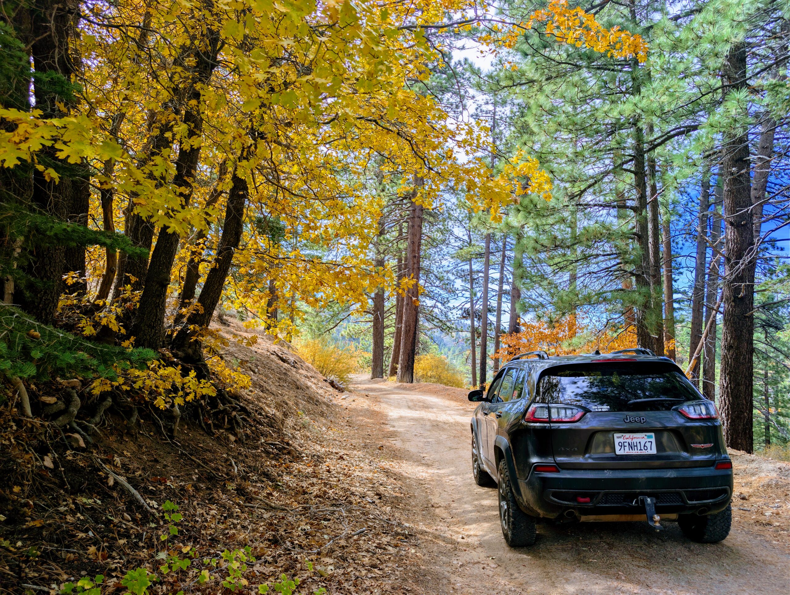
I had been craving a chance to reacquaint myself with the wilderness where I’d spent so much of my trail-running life. And as someone who spends practically every day guiding people through Big Bear’s mountains, I was especially excited about exploring a road I hadn’t traveled in years.
So Luna and I loaded up my Jeep Cherokee Trailhawk and headed out for a proper fall adventure. The plan was simple. Take the forest roads west toward Green Valley Lake, enjoy the spectacular autumn foliage, and eventually continue to Running Springs to visit family and a deeply sarcastic orange cat named Jack.
More importantly, I had lunch plans. Neo’s Pizza in Running Springs was calling my name, particularly their glorious Garlic Bread Knots and Pear Goat Cheese Salad. I don’t know about you, but I find that garlic and melted cheese are excellent motivational tools when navigating remote mountain wilderness. The only problem? I remembered roughly 20 percent of the route. I had confidently assumed I would remember at least 80 percent. Apparently my internal GPS had been running on Windows 95 this entire time.
The Most Beautiful Fall Colors Off-Road Drive Near Big Bear Lake
For anyone looking for a spectacular fall colors drive near Big Bear Lake, the remote forest roads between the Big Bear backcountry and Green Valley Lake are absolutely worth exploring when they are officially open and road conditions allow. Late October through early November can be especially beautiful.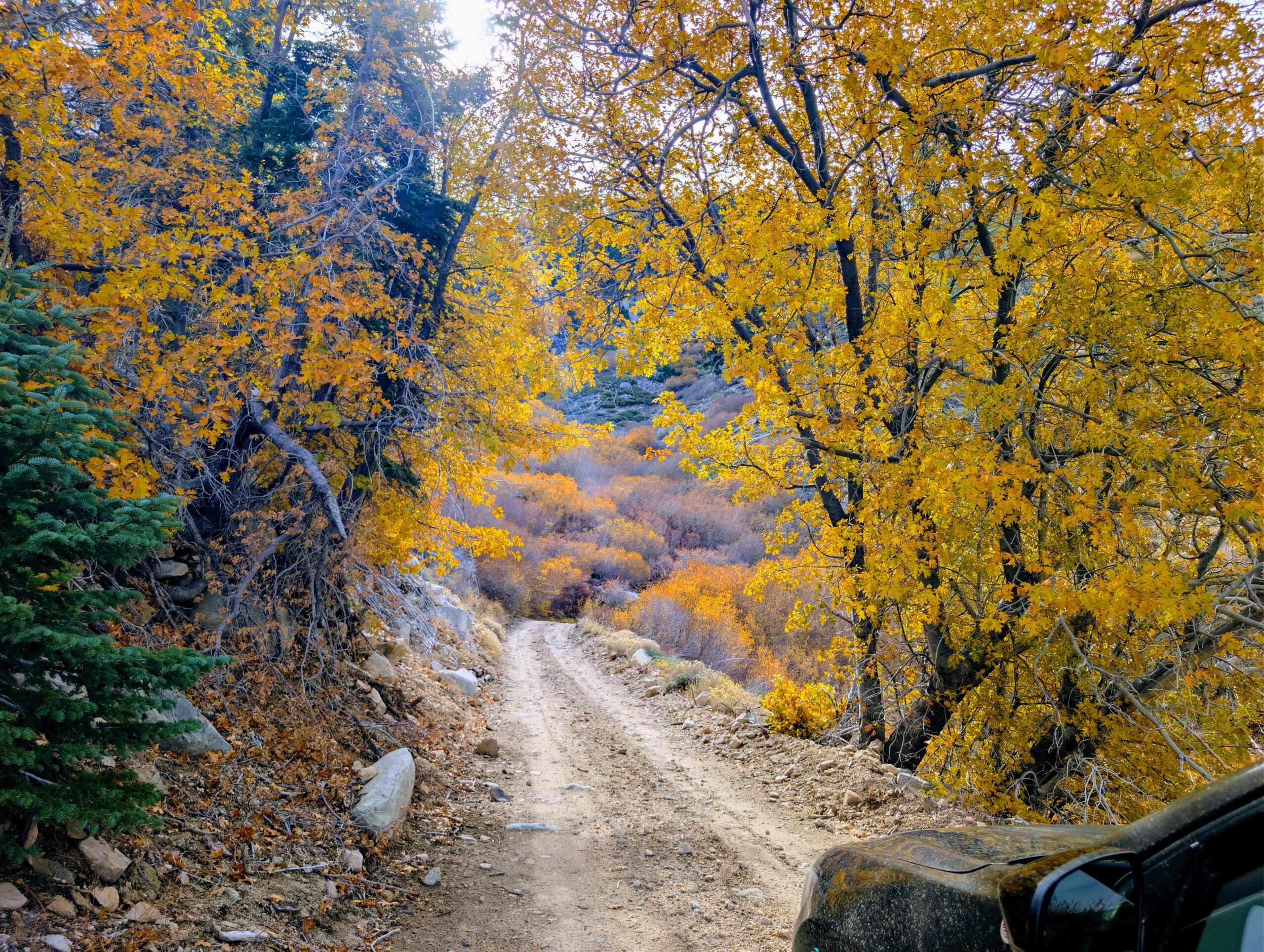
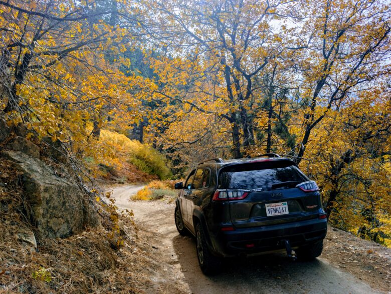
The oak trees turn brilliant shades of gold, copper, yellow and orange. The mountain air is crisp, the summer crowds have disappeared, and the forest starts to feel like it belongs to the wildlife again. In some places, the road follows ridgelines with sweeping views toward the high desert. In others, you descend into sheltered little valleys where golden leaves practically glow against the dark pine trees. I was in leaf-peeping heaven.
Luna and I stopped repeatedly to admire the autumn scenery, explore little creek crossings and take photographs. I may or may not have packed three gently thrifted outfit changes specifically for fall colors photos. Priorities, people. I am an experienced mountain guide, not a woman who intends to photograph herself wearing the same flannel shirt in forty-seven different locations.
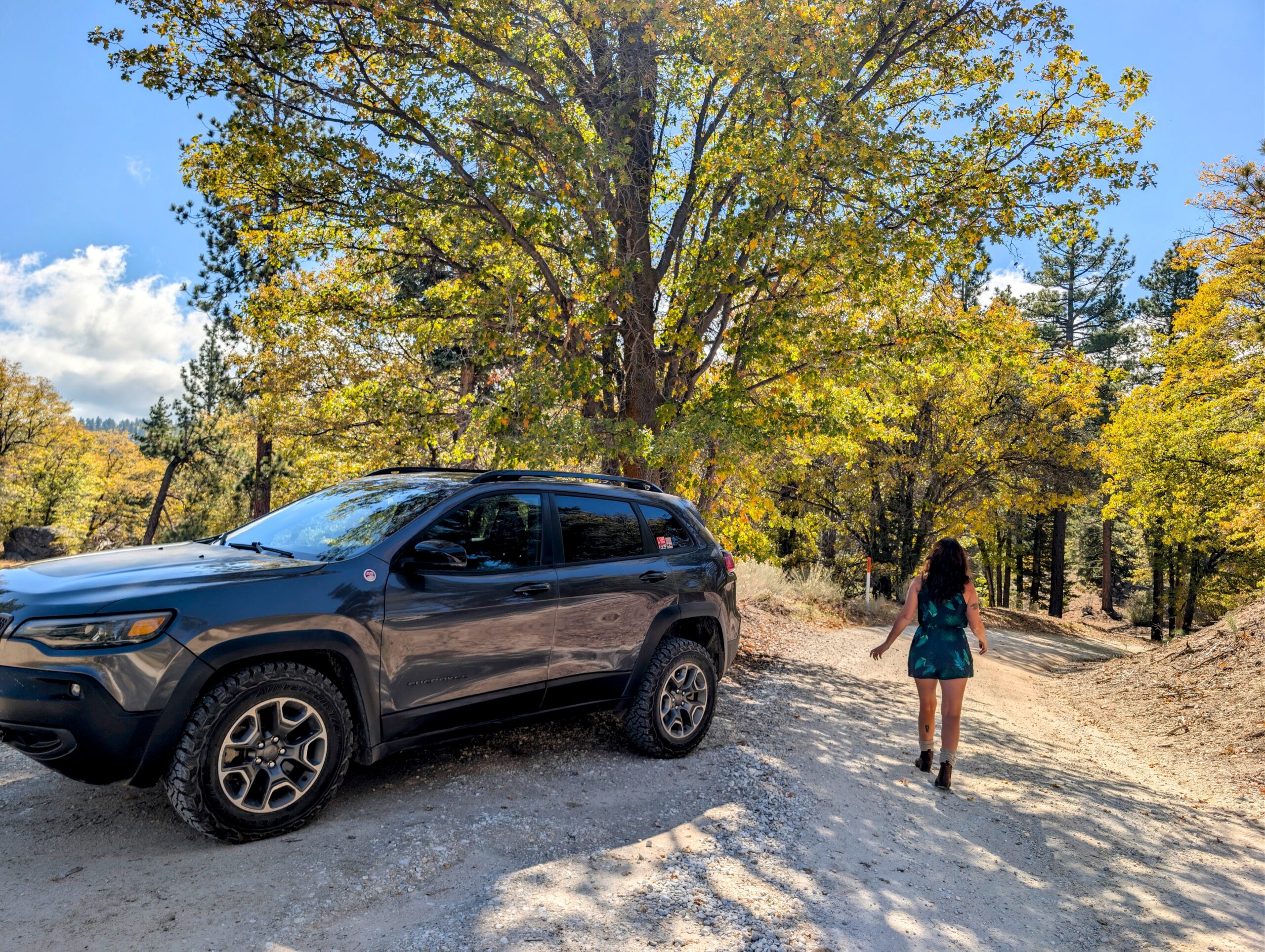
The Jeep handled the dirt road beautifully. My Trailhawk has a roughly two-inch lift and BFGoodrich KO3 all-terrain tires,which were excellent for the rocky sections and uneven terrain. I didnt spend a small fortune on off-road tires just to drive to Target.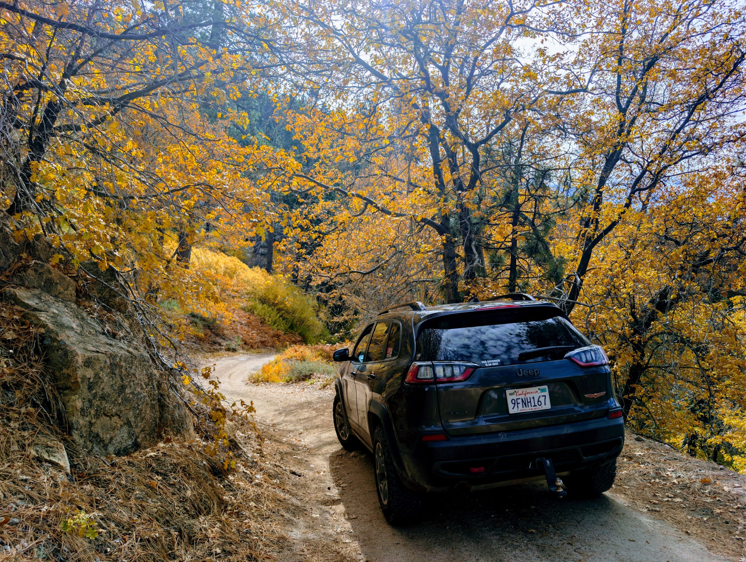
There had been rain a few days earlier, and we encountered several shallow water crossings. Nothing particularly challenging for my Jeep that afternoon, although I wouldn’t recommend treating these forest roads like a paved scenic byway. Some of the rocky sections definitely demanded attention. This is real mountain off-roading, not the gravel driveway leading to your friend’s Airbnb. And while I was delighted to see the golden oak trees, I was also reminded of something much sadder about this area.
The Ghosts of the 2007 Slide Fire
Driving through the old Slide Fire burn scar always breaks my heart a little. Before the devastating 2007 wildfire, this part of the San Bernardino Mountains was filled with beautiful Jeffrey pines and mature forest. I remember running beneath those towering trees, enjoying the shade and the wonderful smell of pine needles warming in the mountain sunshine.
Today, portions of the landscape look dramatically different. The Slide Fire burned nearly 13,000 acres around Green Valley Lake and Running Springs in October 2007, forever changing the surrounding wilderness. There is something haunting about returning to a landscape you knew intimately before a major wildfire.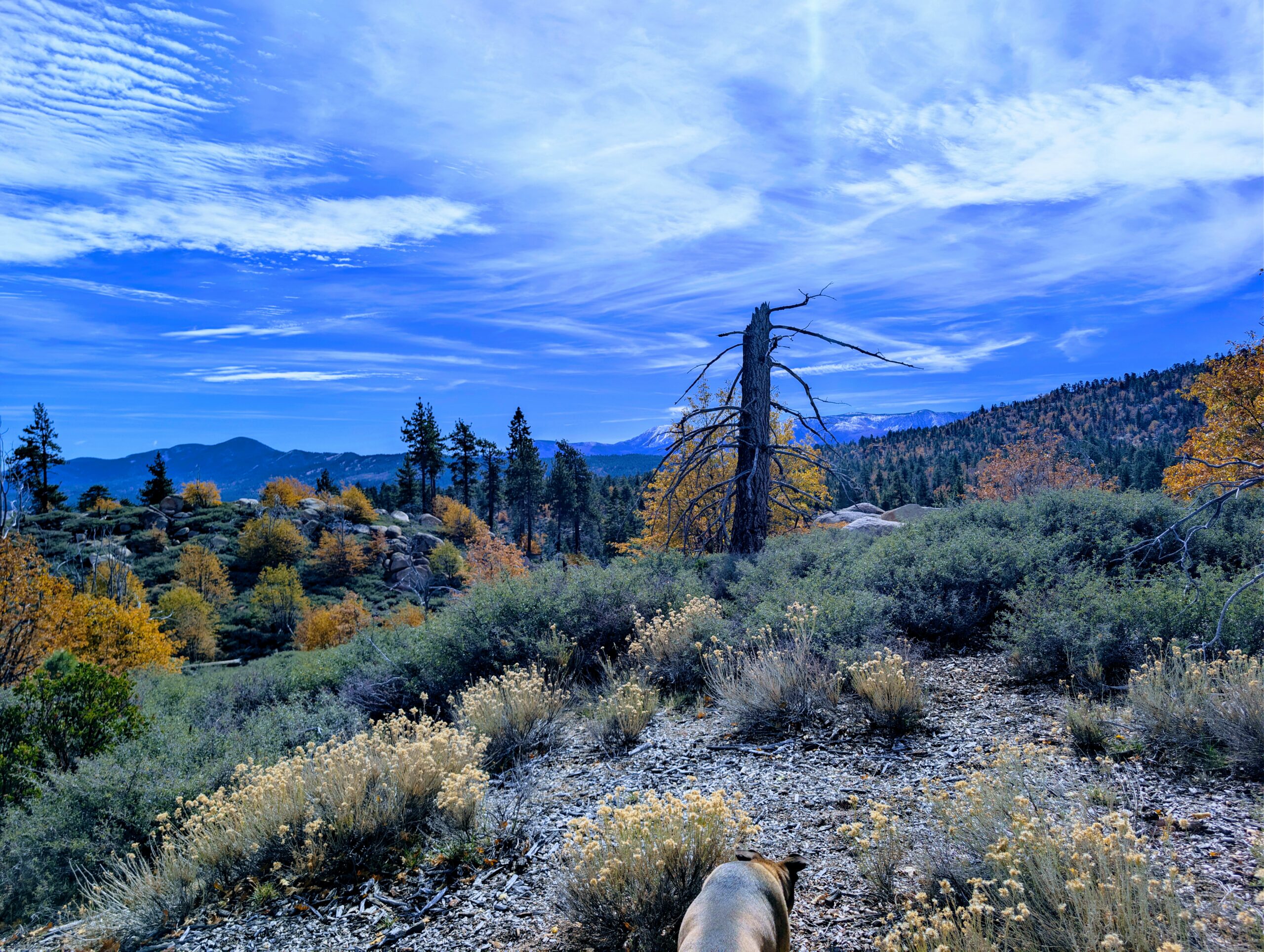
Nature has been busy rebuilding itself, of course. Young trees, shrubs, golden autumn foliage and other vegetation have gradually returned to portions of the burn area. But it isn’t the same forest I remember. Some places feel familiar. Others seem as though someone picked up an entire mountainside and rearranged the furniture while I was gone.
The vistas are still spectacular, especially where the open landscape reveals views toward the high desert. It’s a beautiful reminder of the resilience of the San Bernardino Mountains. It also turns out to be an excellent explanation for why some of my formerly familiar trail-running landmarks no longer looked particularly familiar. At least that’s what I’m telling myself. It sounds much better than admitting that my internal compass apparently retired sometime during the Obama administration.
Did the Rapture Happen? Because Where the Hell Is Everybody?
About an hour into our off-road adventure, I started noticing something strange. There was absolutely nobody out there.No other Jeep enthusiasts. No hikers. No hunters. Not even one guy in a lifte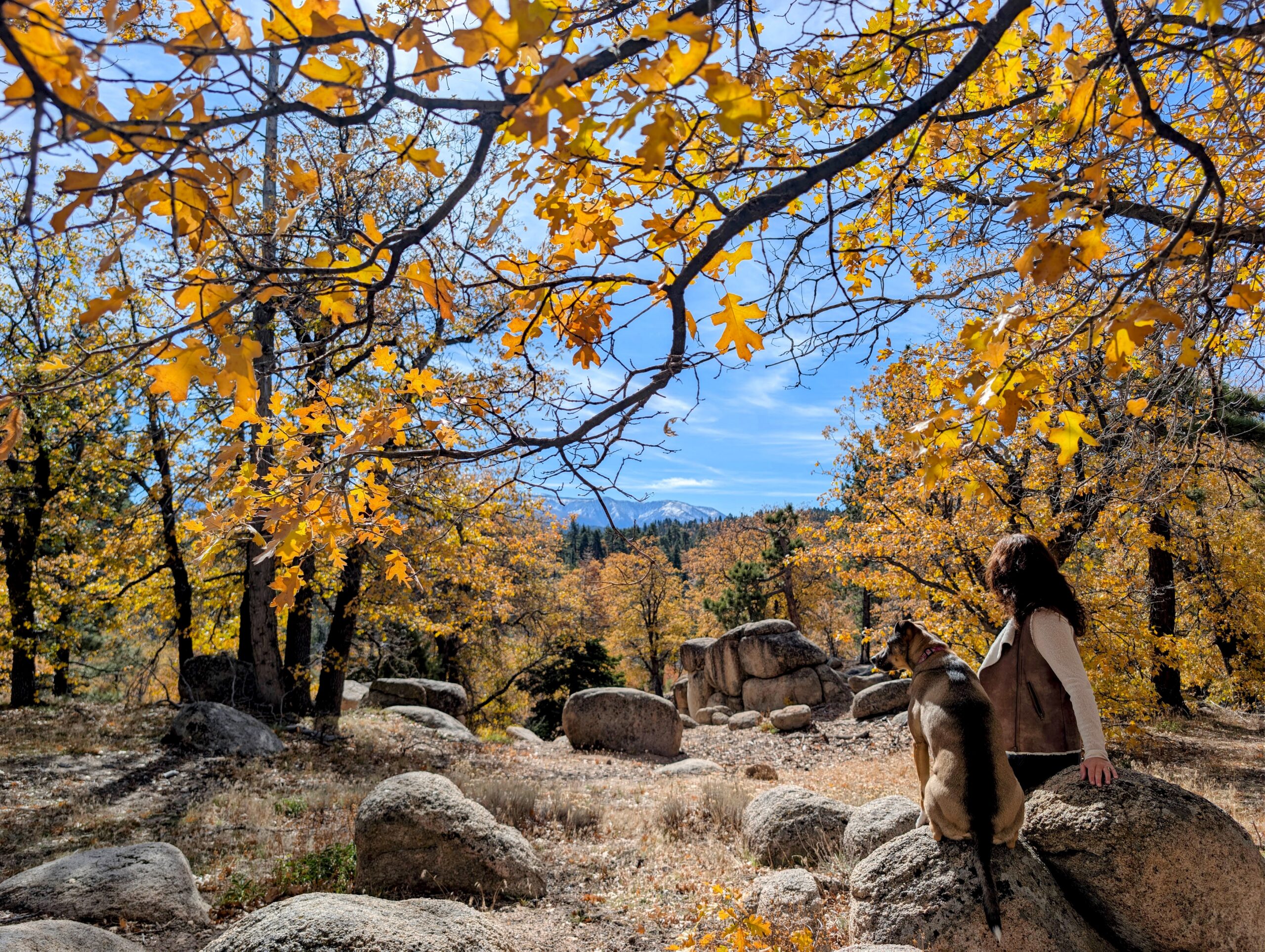 d Cybertruck who wanted to explain his suspension system to me for forty-five minutes. Just me, Luna and a few quail.
Now I love solitude in the wilderness. In fact, escaping the crowds is one of the main reasons I spend so much time exploring these remote dirt roads. But after traveling through miles of gorgeous autumn forest without seeing a single human being, I started wondering if the Rapture had happened and I somehow missed it. Had everybody been called to heaven? Was I left behind with the Catahoula and a bag of Nashville Hot Trail Mix?
Honestly, Luna seemed pretty pleased with the arrangement. I kept driving, enjoying the scenery and occasionally stopping for another photograph. And that was when I noticed something else. Absolutely nothing looked familiar anymore. Not the junctions. Not the bends in the road. Not even some of the ridgelines I had spent years running beneath. What in the actual mountain wilderness was happening?
No Cell Service on Snowslide Road? Shocking. Absolutely Nobody Is Shocked.
Let’s discuss one very important detail about off-roading in the remote San Bernardino National Forest. Do not count on having cell phone reception on 3N19, Snowslide Road or the surrounding backcountry roads. I didn’t have service on significant portions of my drive, and I had fully expected that. It so took me back to 2010.
I’ve been guiding people through the Big Bear wilderness for more than thirteen years. I know perfectly well that a smartphone signal disappears remarkably quickly once you get into certain remote mountain canyons and valleys. That part wasn’t the surprise.
The surprise was discovering that fifteen years away from this particular section of forest had turned my once-excellent geographical memory into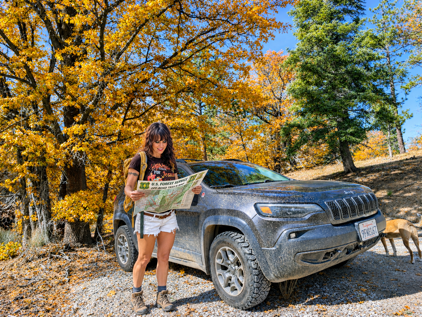 a vague collection of pine trees and misplaced confidence. I wasn’t relying on Google Maps to guide me through the wilderness. I was relying on ten years of personal experience in these mountains. Which, until this particular afternoon, had always served me extremely well. But here’s the thing about wilderness travel: experience is incredibly valuable, but it doesn’t replace current maps and information about road closures. Especially when a catastrophic wildfire, fifteen years of erosion and vegetation growth, and multiple changes to forest-road access have happened since your last visit.
And wouldn’t you know it? I actually own an excellent detailed paper map of the San Bernardino National Forest. A beautiful, glorious, Forest Service-style map that I inherited from a friend. The map of maps. The kind of map that makes serious wilderness enthusiasts practically salivate. And where was this magnificent piece of backcountry navigation equipment? On my bookshelf at home. Probably sitting next to a cookbook about Indian curry, judging me.
One Locked Gate and Fifteen Years of Missing Memories
Eventually, I found myself approaching the Green Valley Lake Campground area. Victory! Civilization! Garlic bread knots! Except there was one small complication. A locked gate. Oh, for the love of all things off-road.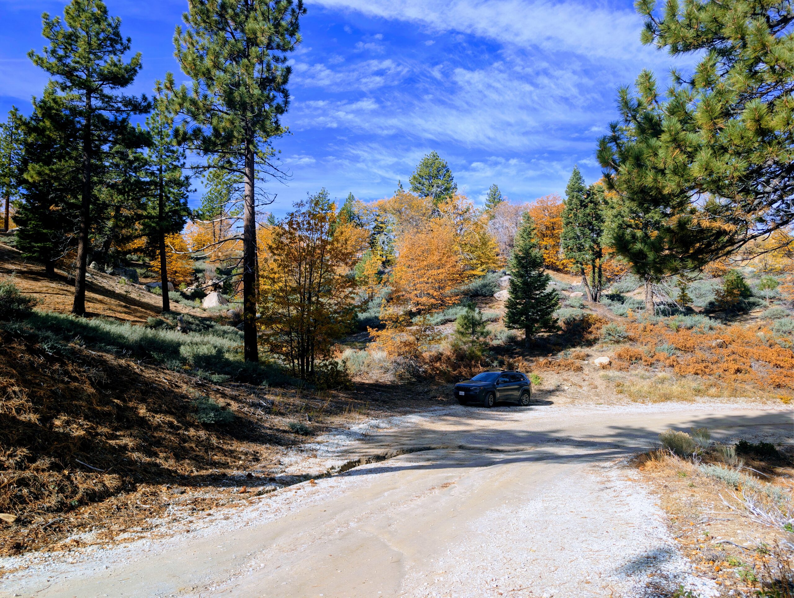
The town of Green Valley Lake was tantalizingly close. After all those miles of beautiful forest, I could practically smell the pizza. But the gate wasn’t opening for anybody. I knew from my trail-running days that there were other dirt roads winding through this section of forest, including routes near Little Green Valley that eventually connected with roads leading toward town. I had run some of those roads hundreds of times. Unfortunately, standing at that unfamiliar junction fifteen years later, I couldn’t confidently remember which route was which. And more importantly, I couldn’t verify whether the lower gates were open. That was the real problem. The last thing I wanted was to commit to another remote dirt road only to discover another locked gate at the bottom.
No cell service. No other vehicles. No friendly local to confirm which roads were open. Not exactly the ideal circumstances for playing a high-stakes game of Choose Your Own Adventure.
Luna and I got out of the Jeep and took a short walk along one of the nearby dirt-road sections to see if anything sparked a memory. Nothing. Beautiful autumn colors though. Apparently my brain had donated that particular geographical information to Goodwill sometime around 2011.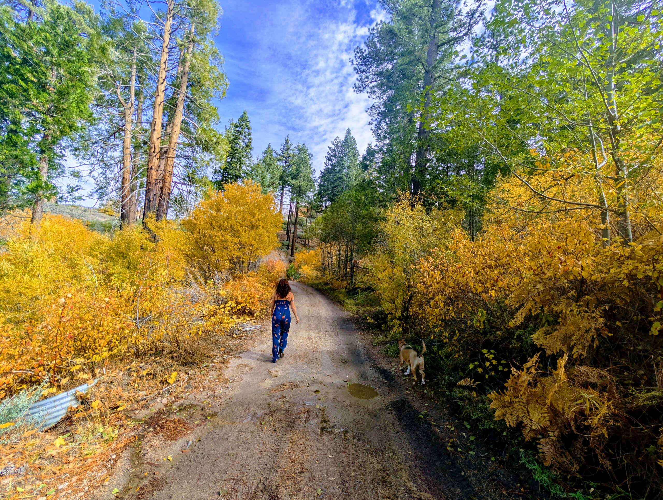
I considered my options. I could continue exploring unfamiliar junctions and hope for the best. Or I could turn around and retrace a known route back toward Big Bear Lake. As someone who has spent years working professionally in the wilderness, I know which option makes sense when you’re unsure about access farther ahead.So we headed back toward the Jeep and prepared for a very long, very slow return drive. Goodbye, Neo’s Pizza. Goodbye, garlic bread knots. I hope you find someone who appreciates you (Like everybody know lives in The Village of Running Springs)
And Then Snowslide Road Saved the Day
But wait! As we made our way back along the forest roads, I noticed a junction that I had somehow overlooked earlier. And suddenly, there it was. A flash of recognition. A familiar curve. A stretch of dirt road I remembered from my Running Springs trail-running days. Snowslide Road, my old friend!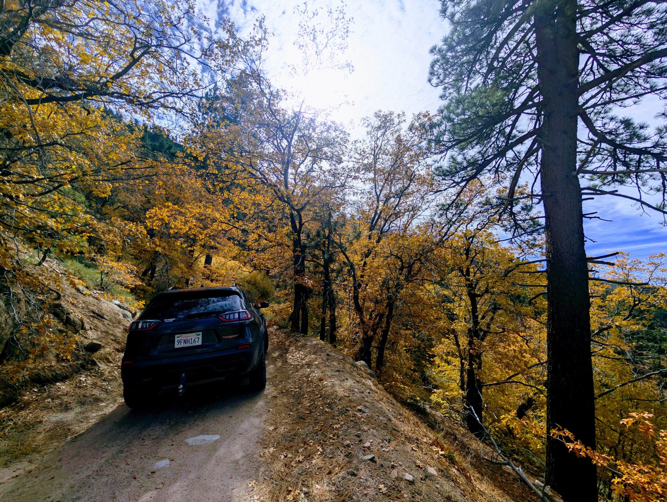
Now THAT was a name and a landscape my brain could work with. The route brought us down into the Green Valley Lake neighborhood, practically around the corner from where we’d encountered the closed campground approach. We had made it! Without backtracking 15 miles of dirt roads.
No dramatic rescue. No emergency satellite communication. No need to survive overnight on dog treats and whatever questionable snacks had migrated beneath the Jeep seats. Just an old mountain guide rediscovering a road she used to know like the back of her hand. And possibly muttering a few words that would have made the local squirrels blush.
So can you off-road from Big Bear Lake to Green Valley Lake? Yes, under suitable conditions, using an open, legally designated route.
I completed the drive in early Nove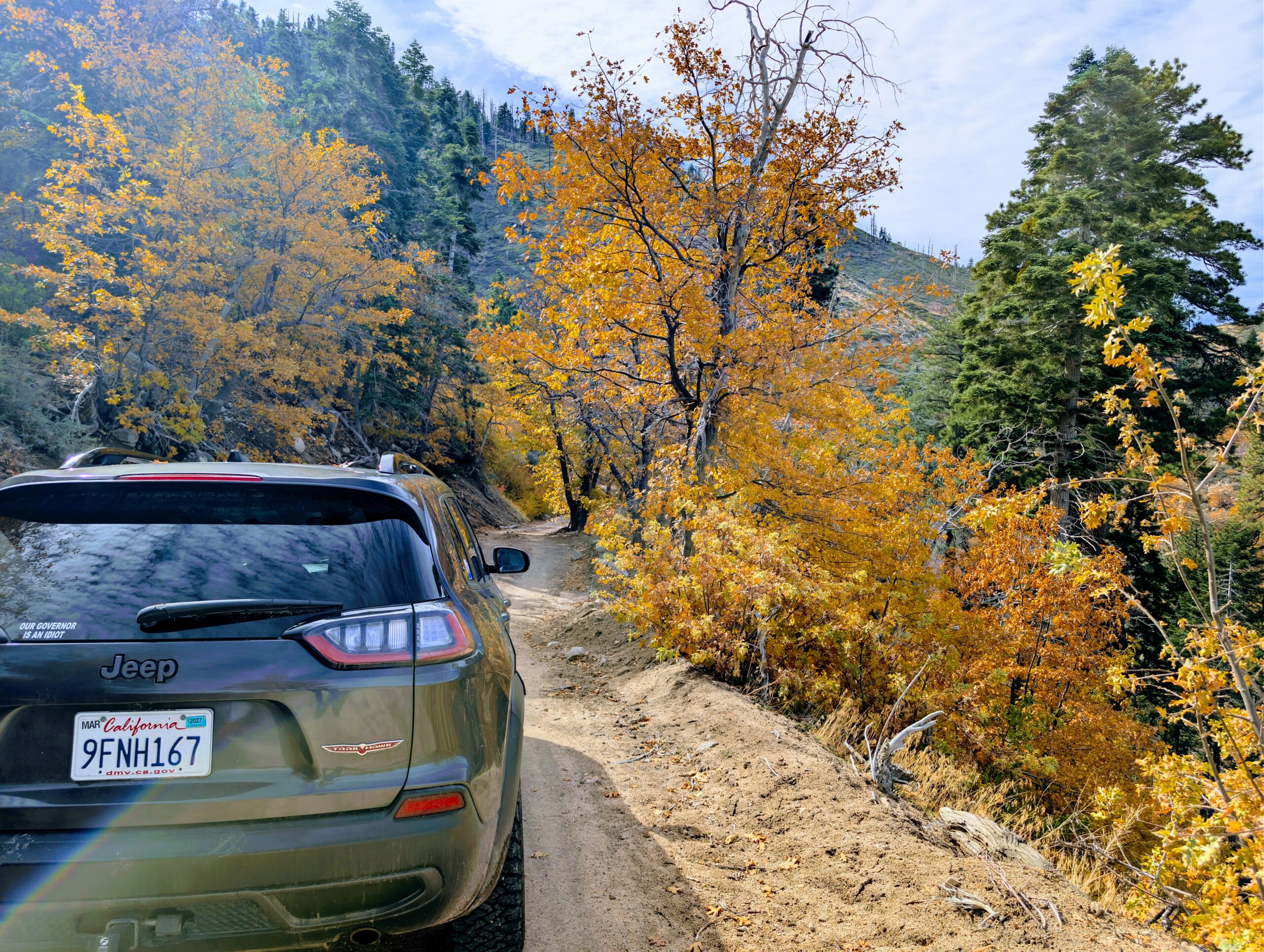 mber 2026. But don’t mistake my experience for a guarantee that every forest-road gate will be open when you visit. Check the current Forest Service road information before heading out. I suggest calling the local forest stations, such as the Big Bear Discovery Center. A perfectly accessible dirt road one weekend can be closed after a storm or seasonal weather change. And for the love of garlic bread knots, bring a proper map.
This off-road drive is just gorgous in the autumn months. And if you are looking to expiernce off-the-beaten-path Big Bear Lake, this is the place.
Want to Drive from Big Bear Lake to Green Valley Lake? Read This Before You Go
Now let’s talk about what you actually need if you’re planning your own Green Valley Lake off-road adventure.
First, understand that Snowslide Road is also known as Forest Road 2N13. You’ll also encounter the 3N19 road designation while researching the larger Big Bear backcountry network. These are not interchangeable road numbers, so consult the official Forest Service Motor Vehicle Use Map and make sure you know which legal routes and junctions you intend to travel. Don’t assume every road or campground entrance connects simply because it appears that way on a phone screen. Google maps will lie to you, trust me, I know.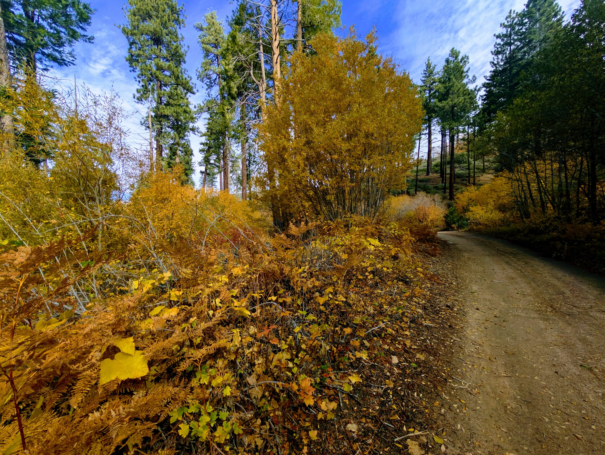
And don’t rely on your memory from 2011, even if you spent approximately half your thirties running around these mountains like a caffeinated mountain goat.
Do You Need Four-Wheel Drive for Snowslide Road?
For the conditions I experienced, I would strongly recommend a capable high-clearance four-wheel-drive vehicle with good off-road or all-terrain tires. My lifted Jeep Cherokee Trailhawk with BFGoodrich KO3 tires handled the rocky stretches and shallow water crossings without a problem. However, the road wasn’t consistently smooth, and parts of it required careful driving.
Could certain Subaru models handle some sections in favorable conditions? Possibly. But AWD badges aren’t magical protective shields against exposed rocks, deep ruts or damaged undercarriages. And I certainly wouldn’t recommend attempting the drive in a low-clearance passenger car just because Google Maps insists that a dirt road is technically a road. Google Maps has apparently never had to pay for a damaged oil pan.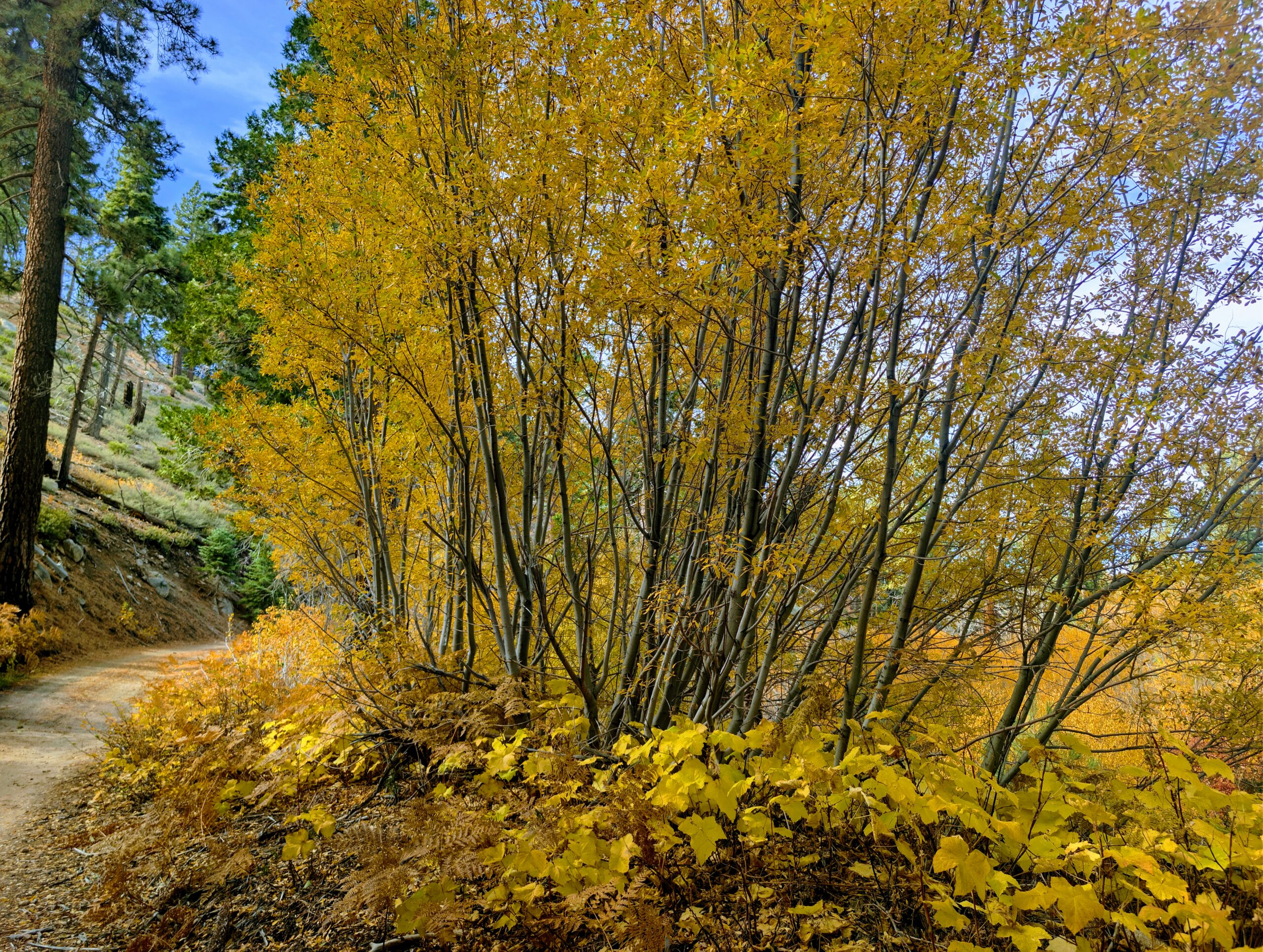
For the Tesla crowd, there’s a difference between owning a vehicle with impressive horsepower and owning one that’s properly equipped for rocky backcountry travel. Your vehicle needs the appropriate clearance, tires and capabilities. Your monthly payment does not impress a boulder. And there are no recharging stations on this route between Green valley lake and Big Bear Lake.
A Paper Map Is Still Sexier Than a Dead Smartphone
Here we are in 2026, with artificial intelligence, satellites and phones capable of photographing craters on the moon. And yet the humble paper map remains one of the most useful items in my Jeep. Bring the official San Bernardino National Forest Motor Vehicle Use Map, along with a topographic or recreational map that shows the surrounding terrain.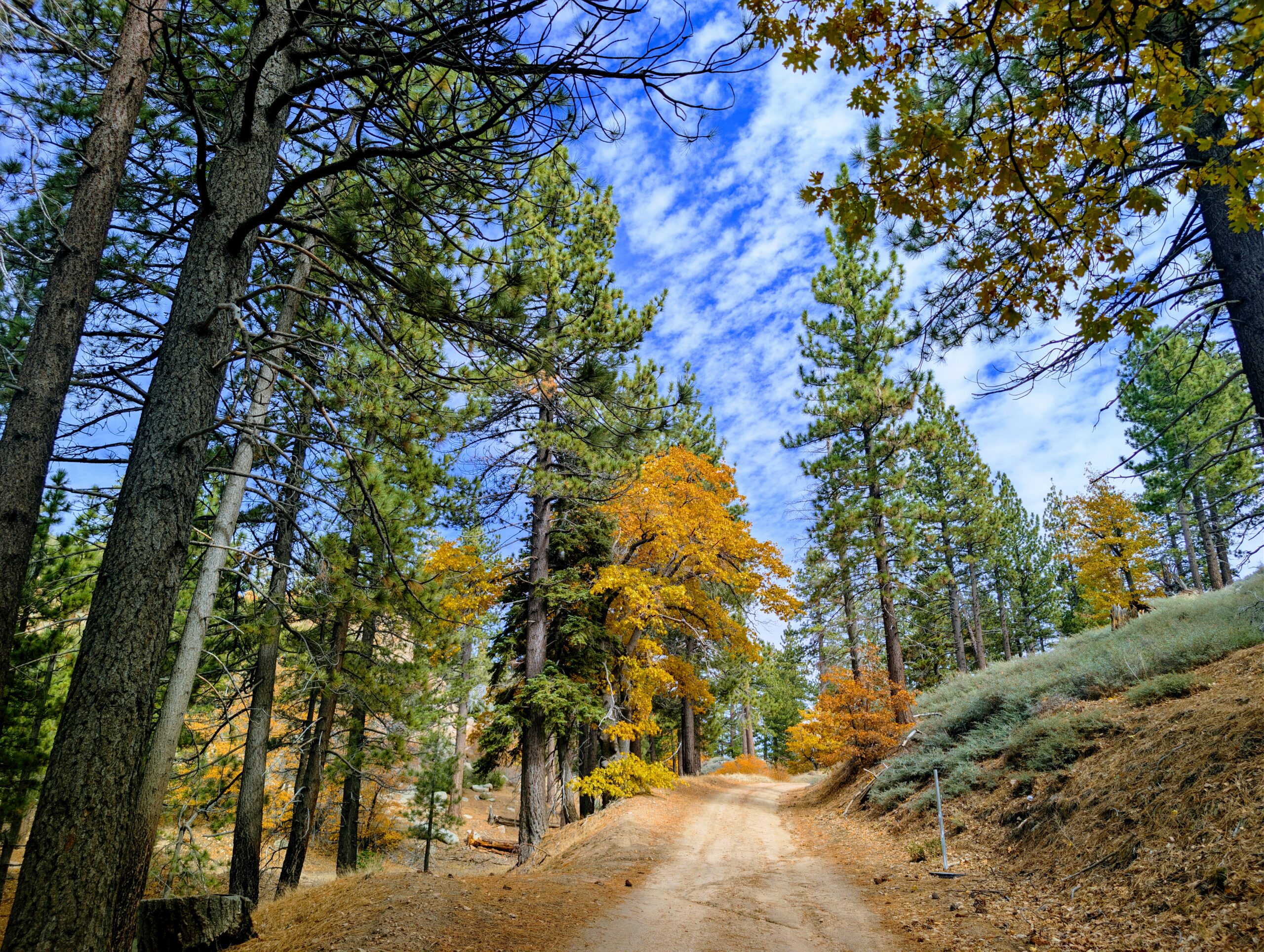
I also recommend downloading offline maps using an app such as onX Offroad or Gaia GPS before leaving home. They can be incredibly useful for identifying forest-road junctions and tracking your location without cellular service, provided the maps are already downloaded and your device is working. But don’t make your phone your only navigation option. A paper map doesn’t run out of battery. It also doesn’t suddenly announce that it’s recalculating your route while you’re staring at a locked gate in the middle of nowhere.
Tell Somebody Where You’re Going
Before heading into remote wilderness, l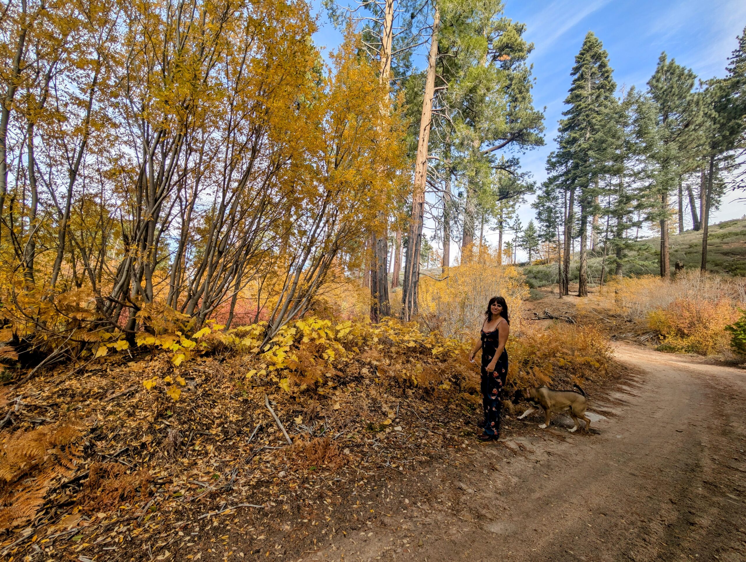 eave your planned route and expected return time with someone you trust. Preferably someone who likes you enough to become concerned if you don’t show up for dinner.
Apps such as Life360 can be useful for sharing locations where service is available, but they are not a substitute for a reliable wilderness communication plan. If you spend a lot of time off-roading in remote areas without cell service, consider a dedicated satellite communicator such as a Garmin inReach. Because having a rescue communication option is considerably more useful than knowing your boyfriend can see that you were last located at Neo’s Pizza six hours ago.
Bring More Fuel Than Your Jeep’s Computer Thinks You Need
Make sure you have plenty of gasoline before leaving civilization. Four-wheel driving over rocky dirt roads at low speeds can use more fuel than your normal paved-road commute, especially when you’re climbing hills or navigating difficult sections, especially if you are using four-wheel-drive-low or rock and mud mode. My gas station had conveniently run out of regular unleaded, so I ended up purchasing premium gasoline. Apparently my Jeep wanted the grass-fed, organic, small-batch artisanal gasoline experience. At those prices, I expected the gas pump to include a complimentary charcuterie board. Still, I’d rather pay extra for gas than discover I’m running on fumes somewhere between Green Valley Lake and Big Bear.
Your Spare Tire Is Not a Decorative Accessory
 Before attempting a long off-road drive, check your spare tire, jack and tire-changing equipment. Make sure your spare is properly inflated and that you actually know how to use your equipment. I would also recommend carrying a portable tire inflator like this one. Some experienced off-road drivers reduce tire pressure for traction and comfort in appropriate conditions, then use a compressor to reinflate before returning to pavement. Proper tire pressure depends on the vehicle, tire and terrain. Don’t randomly deflate your tires because some influencer on YouTube with a $90,000 Jeep said it looked cool. Also, carry basic recovery gear appropriate for your vehicle and know how to use it safely. A good set of tires can make a tremendous difference on rocky mountain roads, but even excellent tires cannot replace common sense.
Hiking During Fall Deer Hunting Season: I’d Rather Sing Show Tunes Than Sound Like Bambi
One very important consideration when exploring the Green Valley Lake and Snowslide Road backcountry in late October and early November is California’s deer hunting season. Much of this area falls within California deer hunting Zone D14, where general deer season in 2026 runs from October 10 through November 8. Archery season was September 5 through September 27.
Personally, I generally avoid recreational hiking in remote hunting areas during the general deer season, especially when hunters may be active. I’m not interested in wandering through the brush wearing earth tones and accidentally looking like the opening scene of a wildlife documentary. If I do stop for a short hike during hunting season, I wear bright colors, stay on established trails, keep Luna close, and remain particularly aware of my surroundings.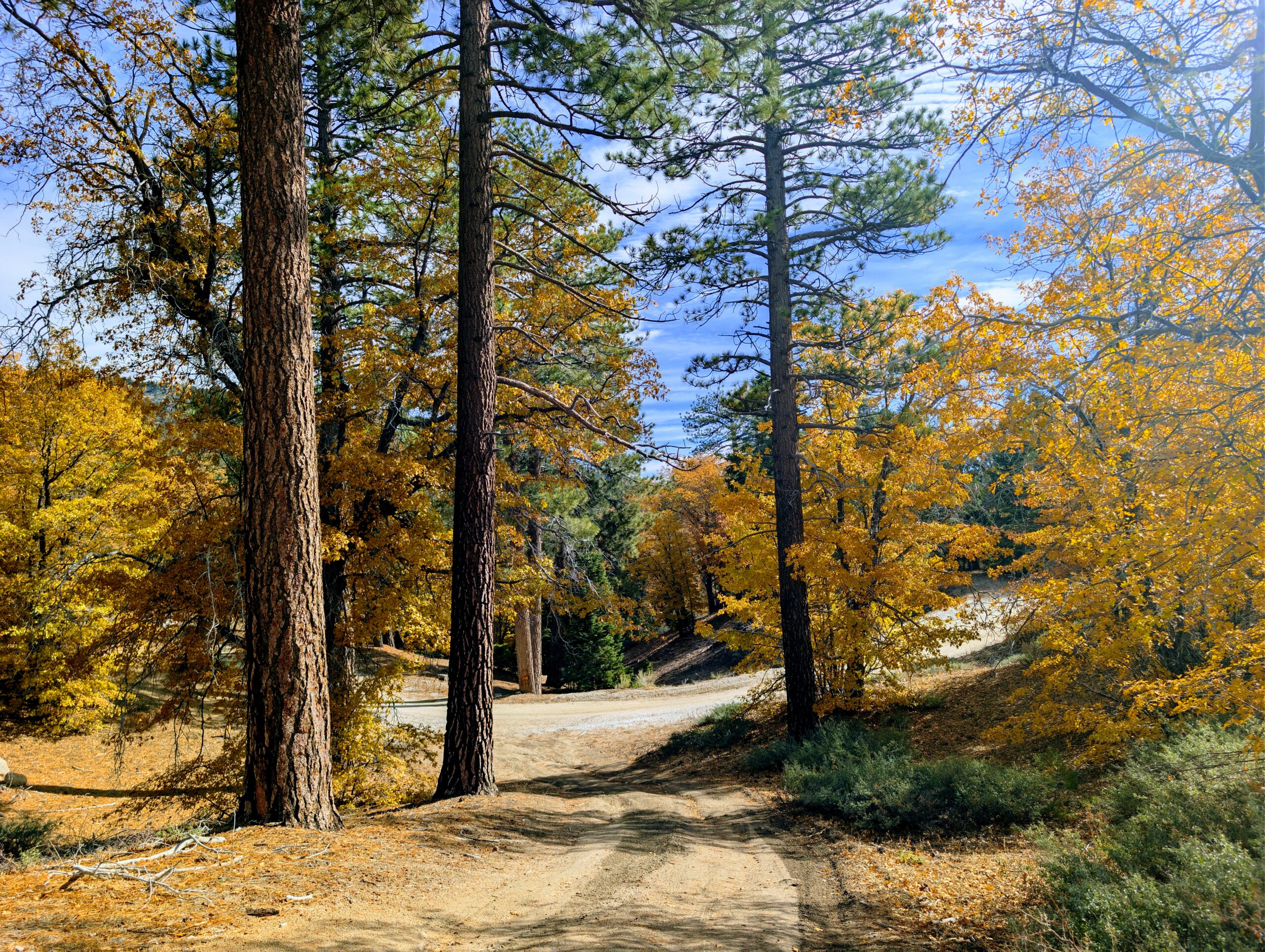
And I employ a slightly less conventional strategy. I pull out my Google Pixel Pro and start blasting the soundtrack to Moulin Rouge! Because nothing says “I am a human being, not a mule deer” quite like Ewan McGregor belting out show tunes in the middle of the San Bernardino National Forest. Honestly, I figure any deer hunter within earshot is going to recognize that Bambi probably isn’t performing a dramatic rendition of “Elephant Love Medley”
I have also considered The Phantom of the Opera, although that might attract an entirely different category of woodland lunatic. Musical theater is my personal contribution to the fall hunting-season soundtrack, but it is not a replacement for proper safety precautions. Visibility, awareness and choosing appropriate places and times to hike are much more important. And yes, my Catahoula probably thinks I’m a little ridiculous. She has excellent taste in music, though.
Wilderness Survival: Three Outfits, One Dog and Not Enough Drinking Water
Let’s discuss what every off-road enthusiast should bring along for a remote mountain adventure. I’ve been guiding people in the Big Bear wilderness for years. I keep useful emergency equipmen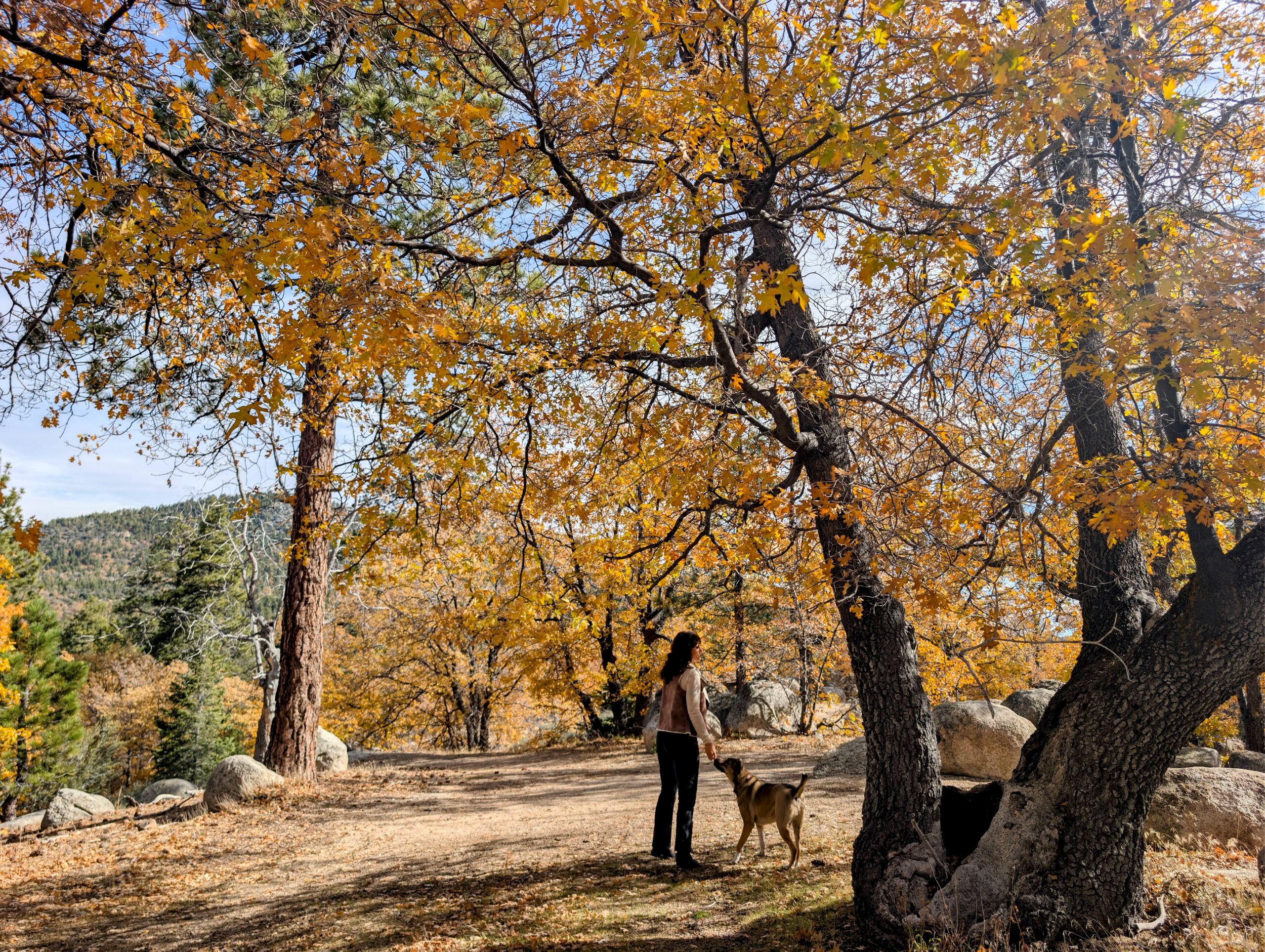 t in my Jeep, understand mountain weather, and know how quickly conditions can change. But even experienced adventurers can benefit from reassessing what they packed for a particular tr
On this adventure, I had warm clothing, a Jeep equipped for the terrain, a bin of my famous Nashville Hot Trail Mix and exactly two chicken chews for Luna. I also had three bottles of water designated for the dog. My own drinking water supply, however, wasn’t as generous as it should have been for a day that could potentially involve an unexpected delay. Sure, in an emergency I could have shared Luna’s water. She probably would have filed a formal complaint, but we would have survived. My original plan had been to enjoy a leisurely drive and then eat an enormous fancy salad lunch in Running Springs.
But here’s the thing about exploring remote dirt roads: your lunch reservations mean absolutely nothing to a locked Forest Service gate. Even when you’re very experienced in the mountains. Act smart to pack enough water, food and emergency supplies to s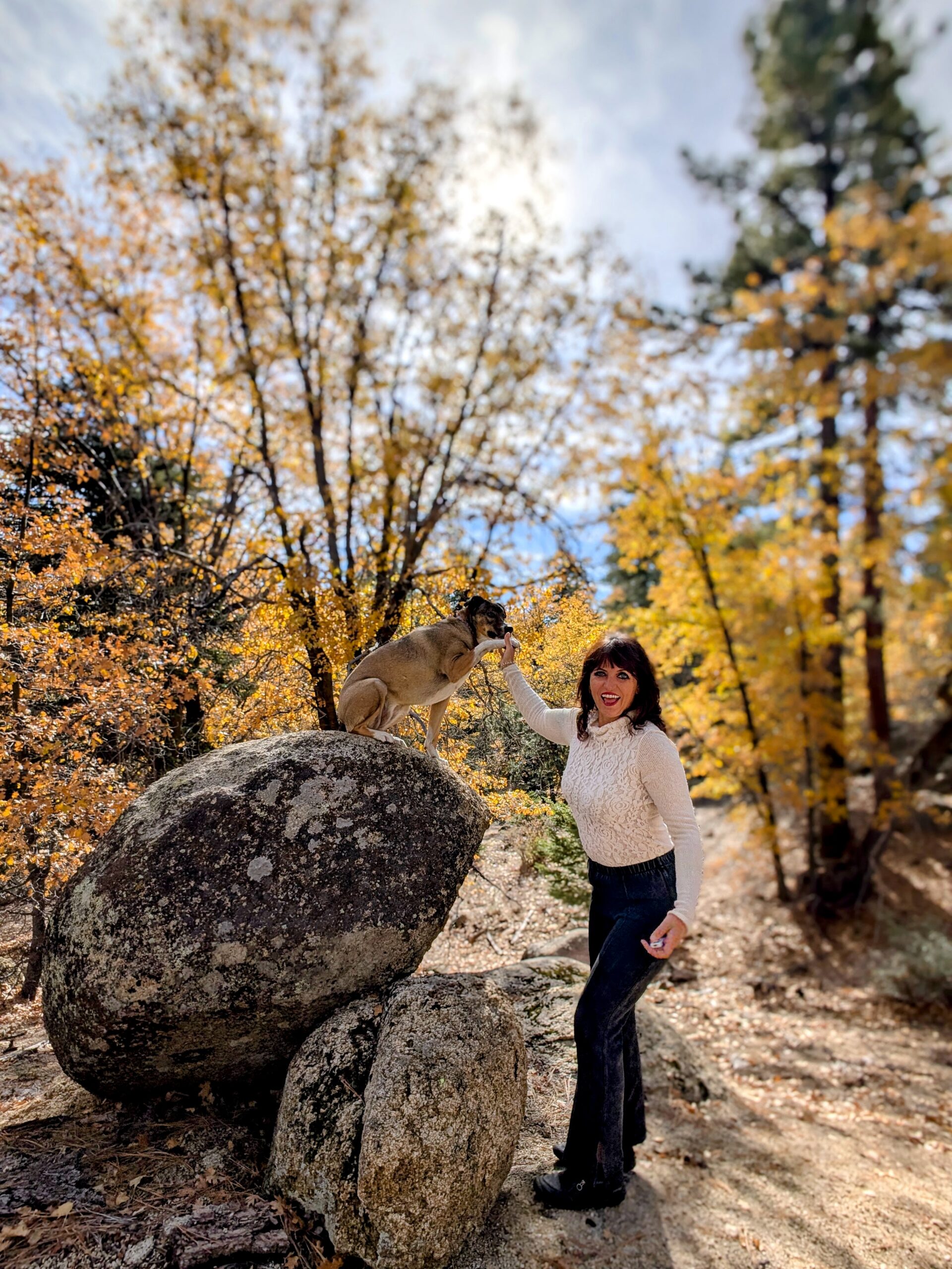 tay comfortable if your afternoon adventure becomes an unexpected overnight experience. Especially during the colder fall months, when temperatures in the San Bernardino Mountains can drop dramatically after sunset. A good emergency kit should include warm layers, a headlamp, first-aid supplies, extra food and water, emergency shelter and a reliable method of communication.
Because although Green Valley Lake is famous for its annual Bigfoot Festival and everyone loves joking about Sasquatch, you do not want to find yourself stranded in the forest after dark wondering whether that mysterious noise came from Bigfoot. Or whether it was just your Catahoula releasing the gas from her last chicken chew. Honestly, I’d take my chances with Sasquatch. At least Bigfoot has the decency to disappear into the woods.
When Is the Best Time to Drive Snowslide Road for Fall Colors?
In my experience, late October through early November is a fantastic window for fall foliage in the Green Valley Lake backcountry, depending on the year’s weather patterns. The oak trees can be spectacular, creating brilliant golden and orange pockets of color beneath the darker evergreen forest.
Cold nights help bring on the seasonal changes, while strong winds and storms can quickly strip the trees of their leaves. Some years the best color arrives earlier; other years it lingers into November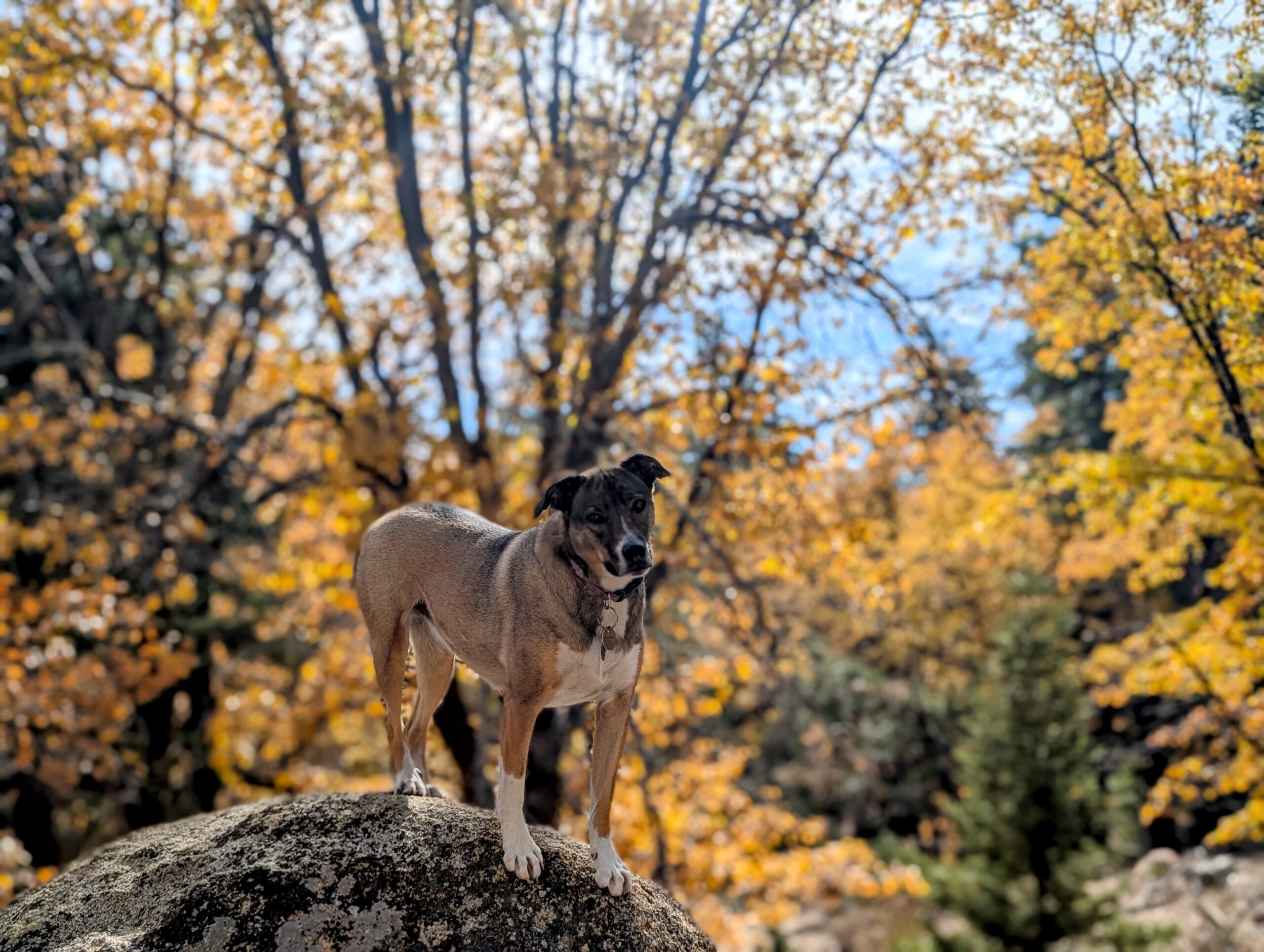 . If you’re hoping to photograph fall colors on 3N19, Snowslide Road or the surrounding forest routes, plan for changing conditions and don’t wait until a major winter storm arrives.
In the San Bernardino Mountains, autumn can turn into winter remarkably quickly. Forest roads may close seasonally or following heavy rain, snow, significant storm damage or wildfire-related restrictions. A gate being open during my November 2026 adventure doesn’t mean it’ll be open every November, or even the following weekend. And a storm forecasting sixteen inches of snow is nature’s fairly unsubtle way of suggesting you may want to just stay in the cabin with a hot curry and a snuggling Catahoula Hound Dog. Every year off-roaders are stuck out on our dirt roads during snowstorms, don’t be those guys!
Any questions about this epic beautful off-road drive shoot me a comment. I’m a Big Bear local who does live here year round.